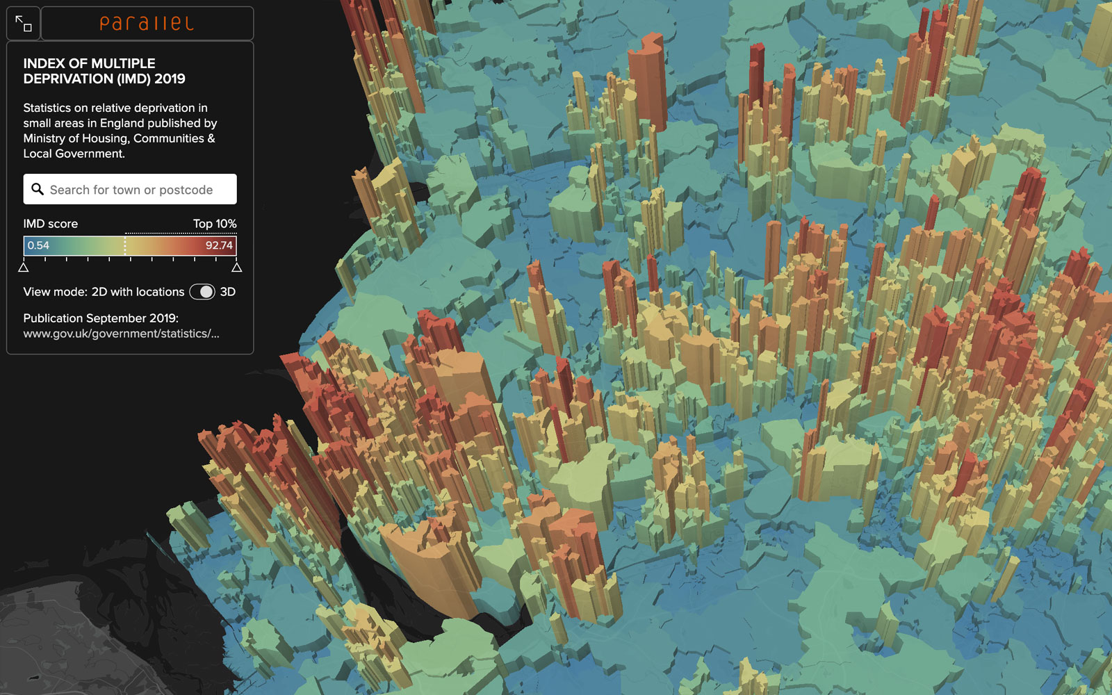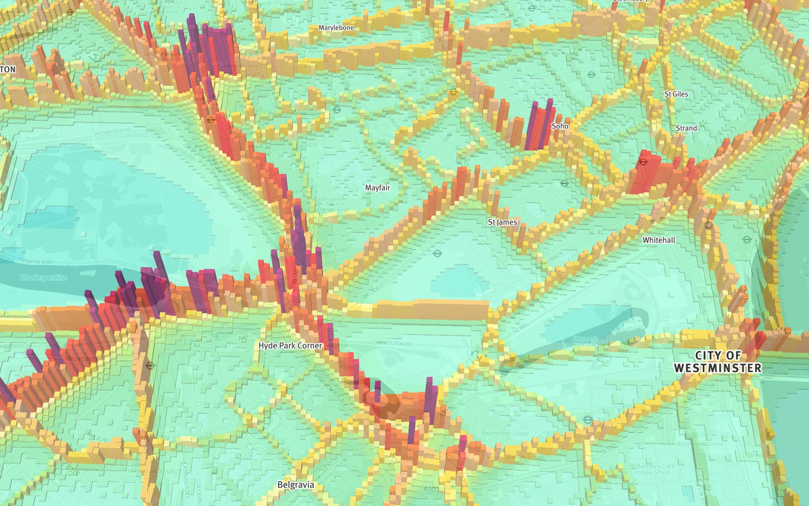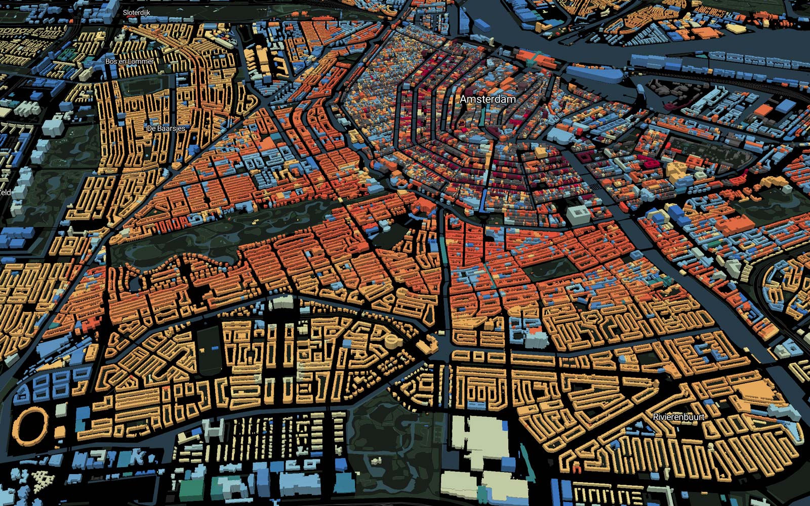
3D buildings coloured to show construction date
All 10 million buildings in the country from BAG open data.


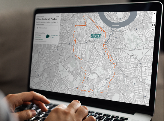
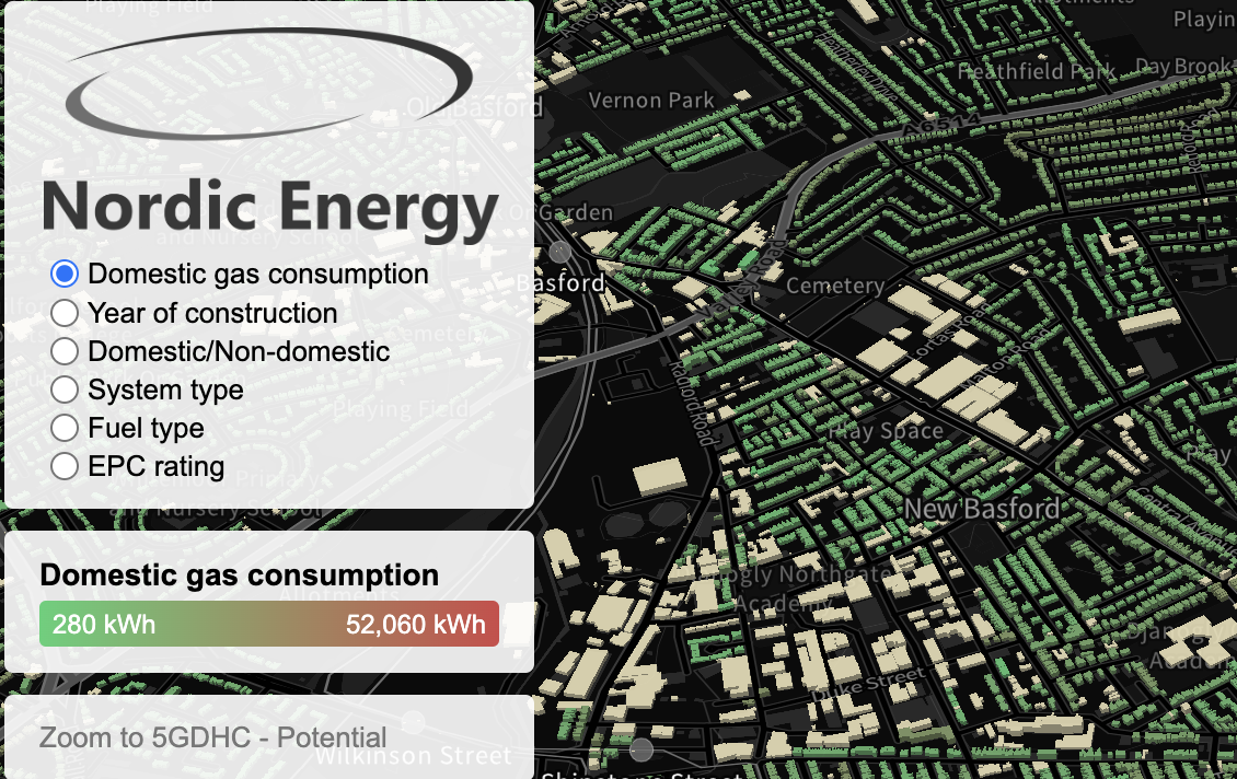
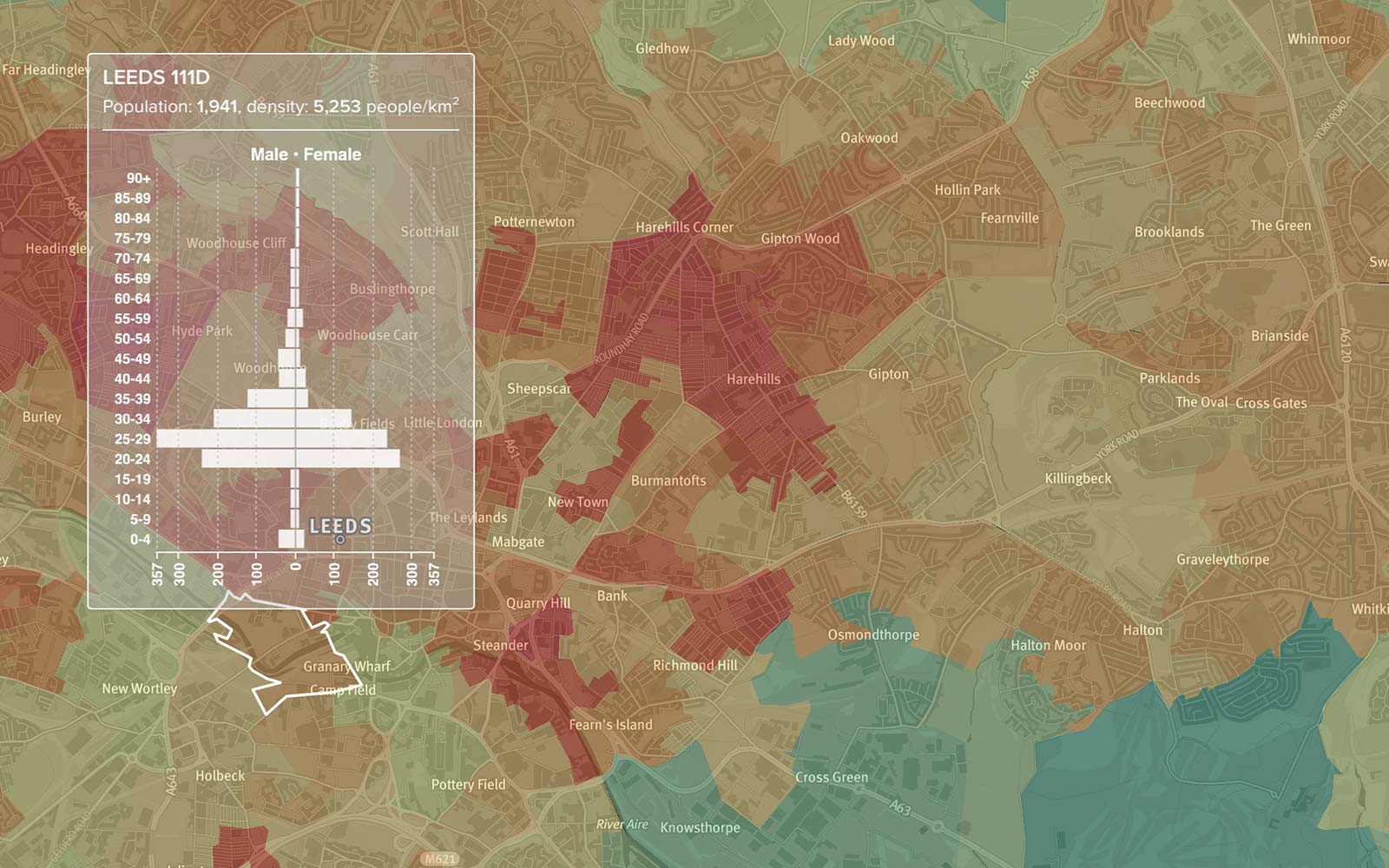
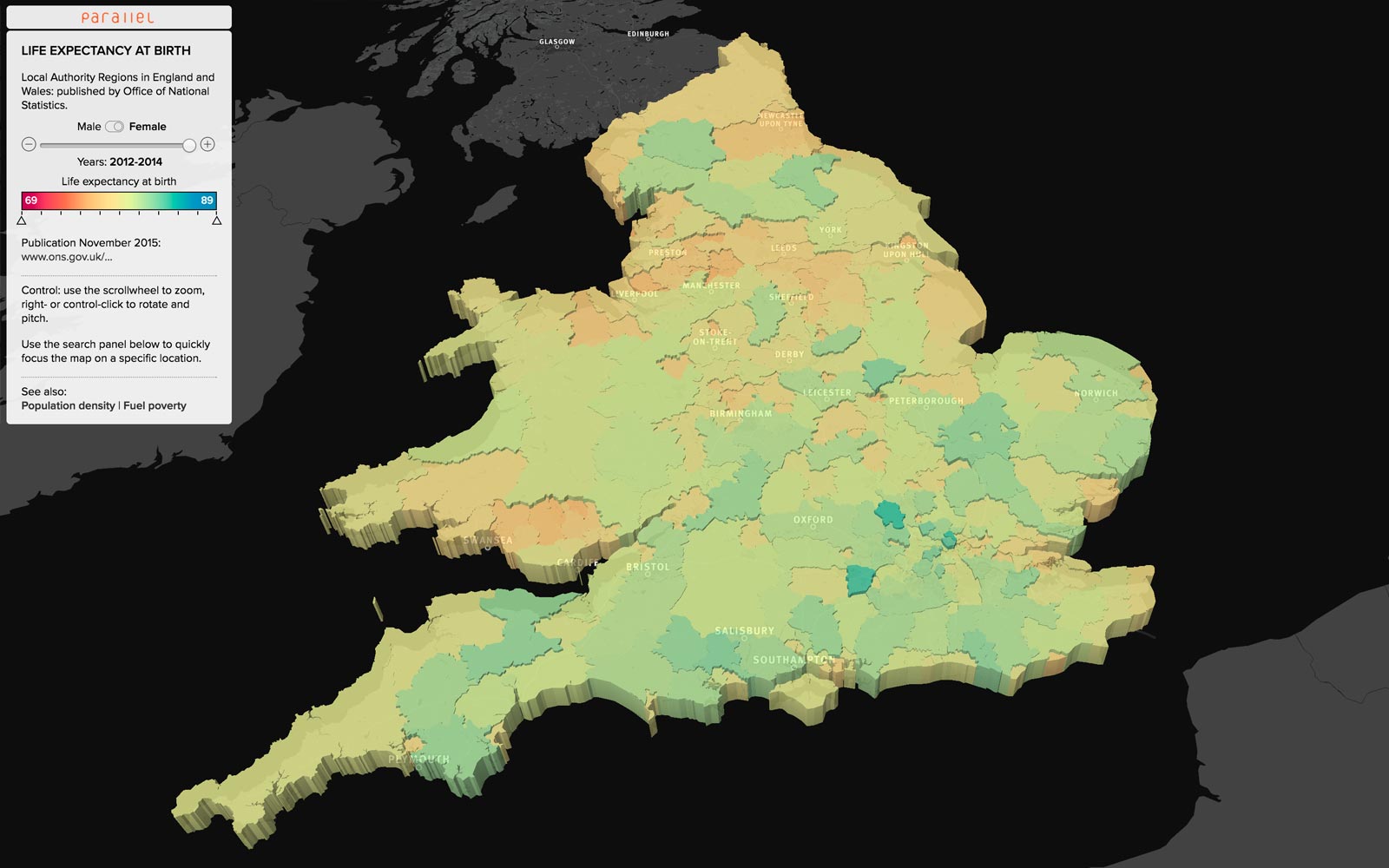
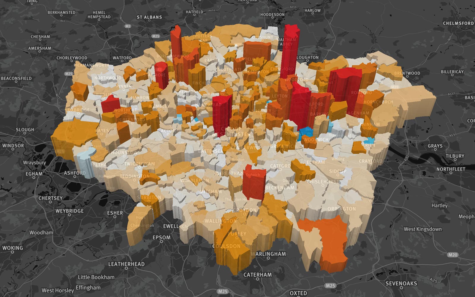
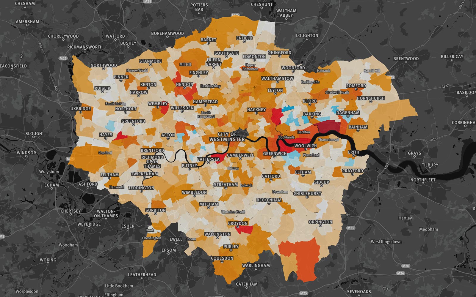
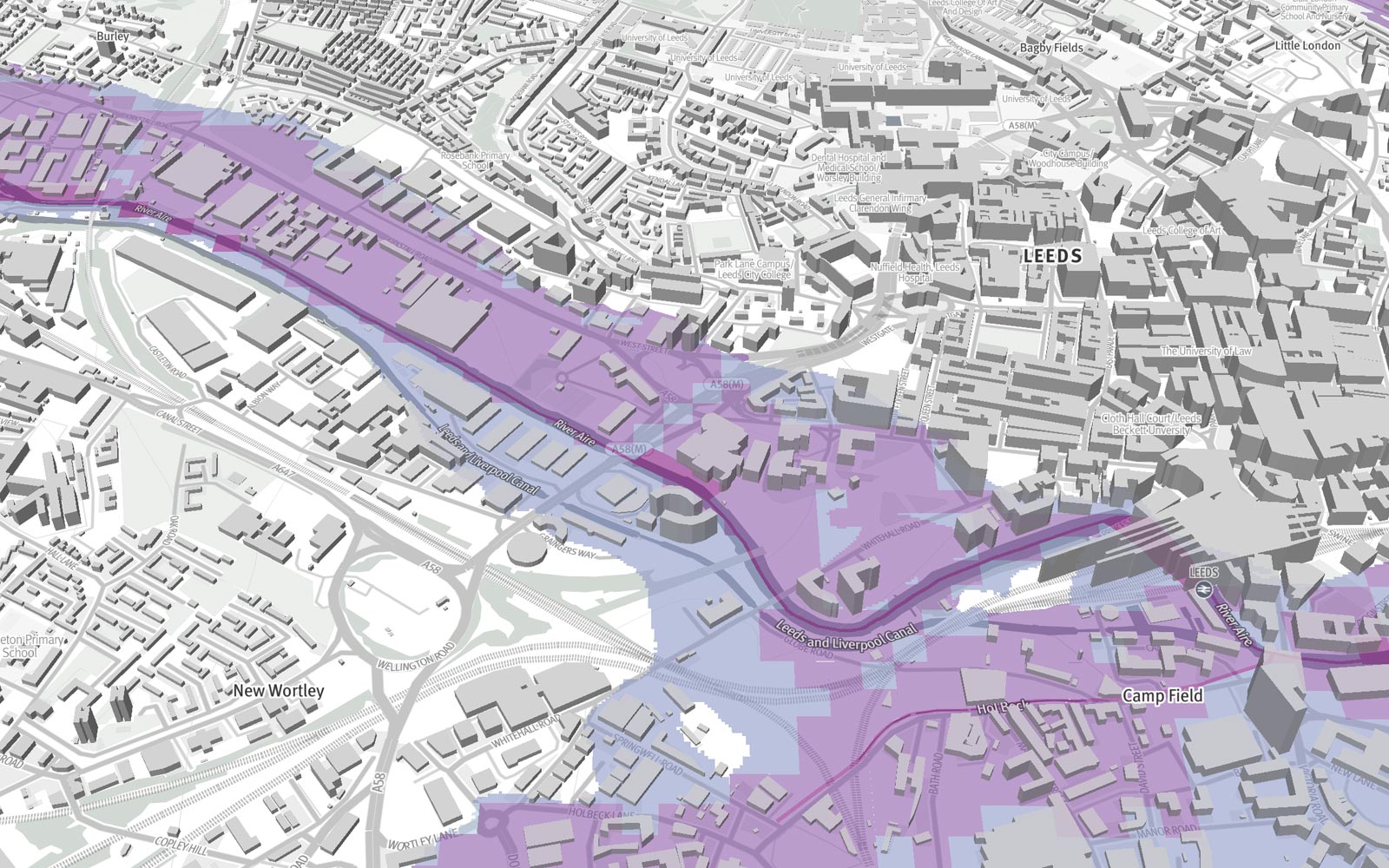
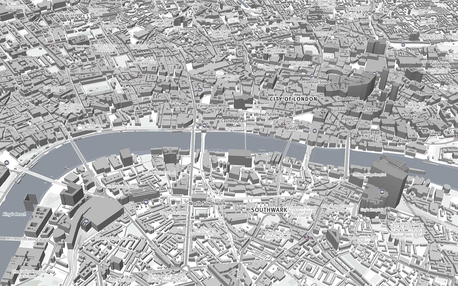
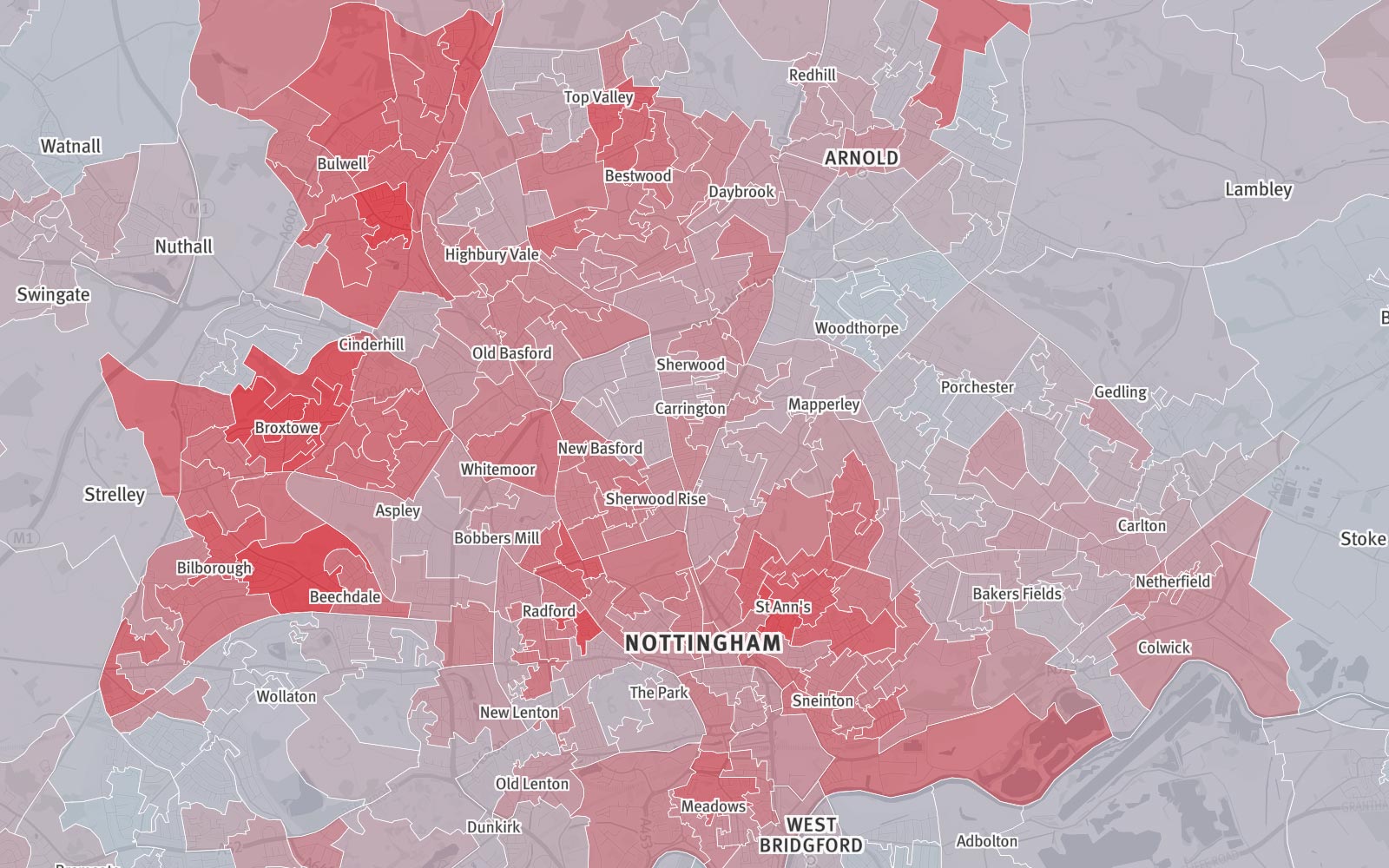
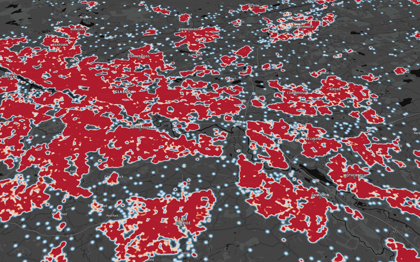
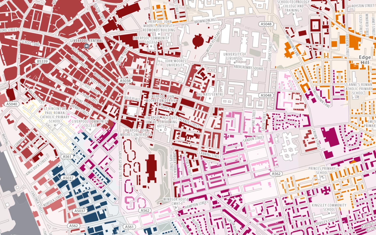
Our standard basemap tiles have been specifically rendered from Ordnance Survey OpenData to provide an optimised, almost monochromatic, background for the presentation of overlaying datasets – either in the form of marker locations and/or semi-transparent polygons and lines. Data used for the creation of the maps comes from OS’s Open Map Local & Open Zoomstack.