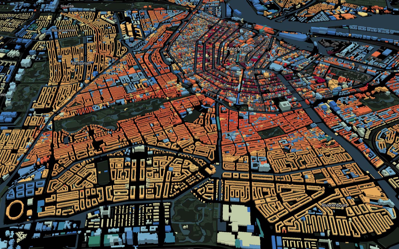
3D buildings coloured to show construction date
All 10 million buildings in the country from BAG open data.
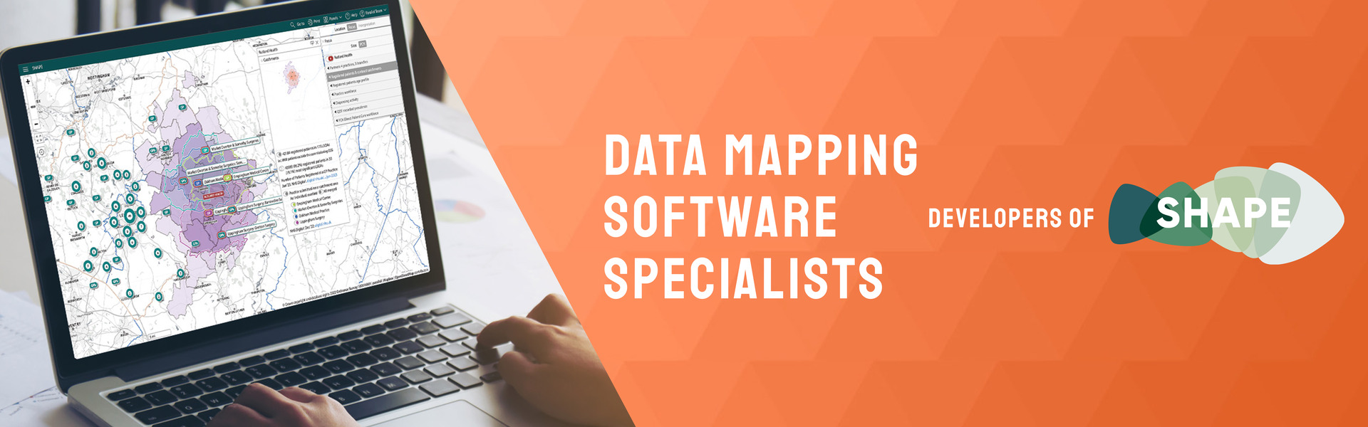
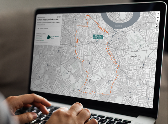
Parallel is a software development consultancy specialising in interactive mapping, data visualisation and insight.
Its software solutions help major organisations, including the NHS and local authorities, make decisions around service and estates planning, in relation to population demographics, deprivation, accessibility, clinical activity, environmental factors and more.
Parallel is the provider and developer of Department of Health and Social Care’s SHAPE tool, a web enabled, evidence-based application that informs and supports the strategic planning of services and assets across the public sector.